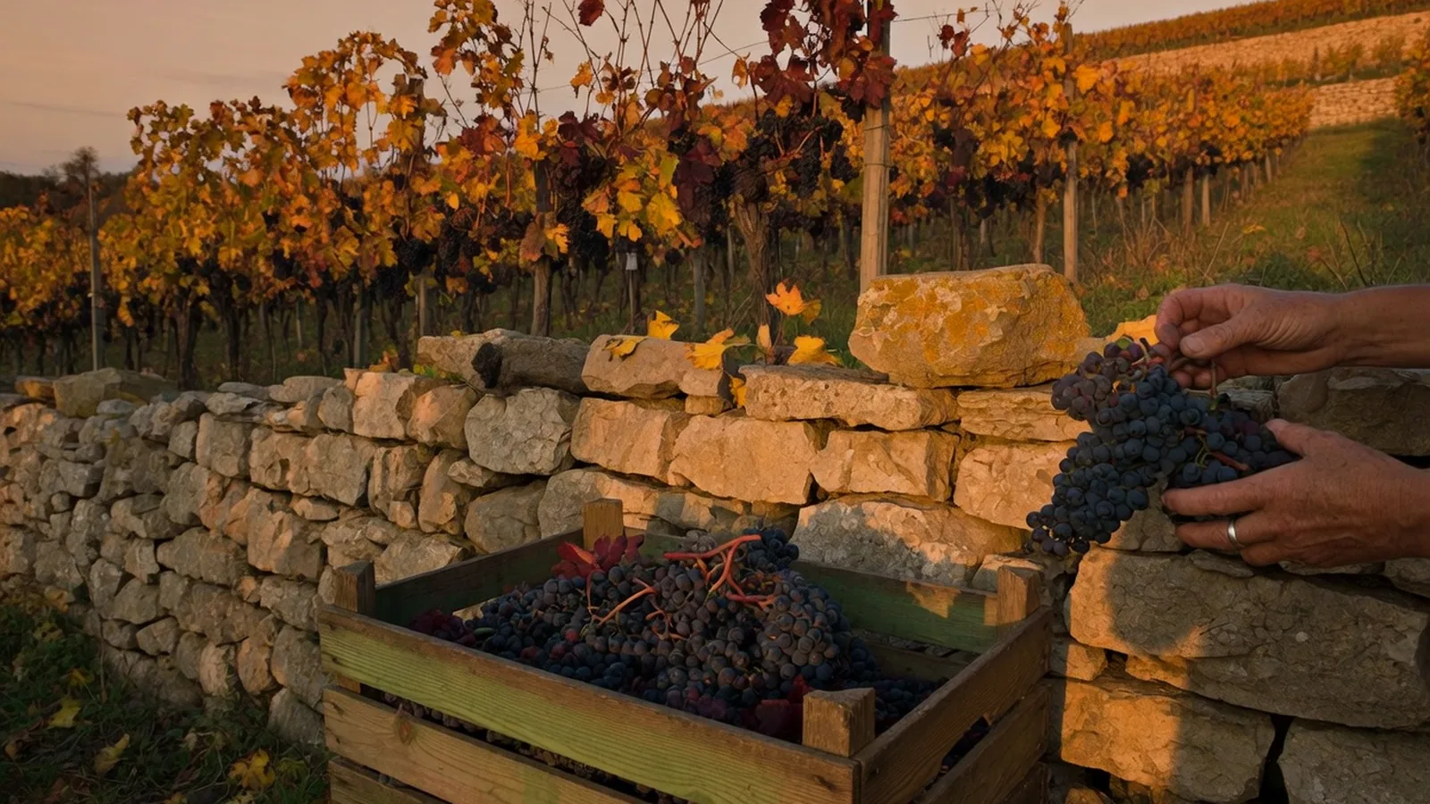
France is shaped by water. Five great rivers drain the country — the Loire, Seine, Rhône, Garonne, and Rhine — and 8,500 km of navigable canals connect them in an extraordinary inland waterway network built over centuries. These rivers defined where cities grew, where vineyards flourished, and where borders formed. Understanding them is understanding France.
| France's Major Rivers | Detail |
|---|---|
| Loire: 1,012 km — France's longest, from Massif Central to Atlantic at Saint-Nazaire | |
| Seine: 776 km — through Paris, Normandy, to the Channel at Le Havre | |
| Rhône: 812 km total (545 km in France) — from Switzerland through Lyon to the Mediterranean | |
| Garonne: 647 km total (523 km in France) — from Pyrenees through Toulouse and Bordeaux | |
| Rhine: 1,230 km total (190 km as France-Germany border) — through Alsace | |
| Navigable waterways: 8,500 km |


The Loire
France's longest river and its most regal — the dernier fleuve sauvage d'Europe (last wild river of Europe). Unlike the Seine and Rhône, the Loire was never fully tamed by dams and canals. It rises on Mont Gerbier-de-Jonc in the Ardèche, flows north through the Massif Central, sweeps west past Orléans, Tours, and Nantes, and enters the Atlantic at Saint-Nazaire.
The Loire Valley — between Orléans and Angers — is a UNESCO World Heritage landscape, famous for its châteaux (Chambord, Chenonceau, Villandry), vineyards (Sancerre, Vouvray, Muscadet), and the gentle val (valley) that earned the region the name "Garden of France."
The Seine
Paris exists because of the Seine. The river's gentle bends through the capital — past Notre-Dame, the Louvre, the Eiffel Tower — are among the most famous urban landscapes in the world. The Seine rises in Burgundy, flows northwest through the Paris Basin, and enters the English Channel at Le Havre through a wide estuary.
Key features:
- The Île de la Cité (the island where Paris began)
- The bouquinistes (riverside booksellers) along the Parisian quays (UNESCO-listed)
- The loops of the Seine through Normandy — the Impressionists' landscape
- Rouen — the medieval capital of Normandy, port city on the tidal river
The Rhône
France's most powerful river — the Rhône carries more water than any other French river. It enters France from Lake Geneva, flows south through Lyon (where it meets the Saône), and continues to the Mediterranean through the Rhône Valley. Its delta forms the Camargue — a vast wetland of salt marshes, pink flamingos, white horses, and black bulls.
The Rhône Valley is one of France's great wine corridors: Côtes du Rhône, Châteauneuf-du-Pape, Hermitage, and Côte-Rôtie line its banks.
The Garonne
Rising in the Spanish Pyrenees, the Garonne flows through Toulouse (where the Canal du Midi meets it), onwards to Bordeaux, and enters the Atlantic via the Gironde estuary — the largest estuary in Western Europe. The Gironde is formed by the confluence of the Garonne and the Dordogne at the Bec d'Ambès (beak of Ambès).
The Canal Network
France possesses Europe's most extensive inland waterway system — 8,500 km of navigable canals and canalised rivers. The golden age of canal-building was the 17th–19th centuries:
- Canal du Midi (1681) — Toulouse to the Mediterranean; UNESCO World Heritage
- Canal de Bourgogne — connects the Seine and Saône systems through Burgundy
- Canal du Nivernais — one of France's most beautiful narrow canals
- Canal de la Marne au Rhin — connects Paris to the Rhine via Lorraine and Alsace
- Canal Latéral à la Garonne — extends the Canal du Midi from Toulouse to Bordeaux
Canal du Midi — Navigate the UNESCO canal from Toulouse to the Mediterranean by boat or bike — on La Porte.
On the ground
| Pin | Working note |
|---|---|
| Page | Rivers and Waterways of France |
| Desk | La Terre |
| First use | Read the pins, then one related page — not five |
| Confirm | Official site or ticket desk the week you go |
Hours, fares, and festival weeks move. A 2024 caption is not a 2026 desk. Rivers and Waterways of France sits in a country that is easy to over-plan and easy to under-prepare. The geography layer is where visitors collect names. This page is the opposite: what to do first, what to skip, and which sibling guide holds the rest.
France rewards a slow unit. One arrondissement, one valley, one appellation, one park trail. The photograph of five landmarks in five days is a real holiday, and it is also a queue with a passport. If you only have three nights, spend two of them in the same bed. The third night is for a train, not a third hotel.
Working a visit
Practical France is sockets (Type E/F, 230 V), tap water that is safe, pharmacies that are the real clinic for minor trouble, and a lunch hour that still closes a village. Cards work in cities. Cash still opens some park kiosks, some island boats, and some market stalls that have never seen contactless. A lightweight adapter belongs in the personal item, not the hold.
We will not write as if every reader is on a gap year, or as if every reader is in a palace hotel. We will not flatten 'the south' into one climate. We will not treat a strike day, a jour férié, or a Tuesday museum closure as a personality quirk of the French. They are calendars. Check them. Then use Rivers and Waterways of France as a pin, not as scripture.
Cross the five guides instead of cloning them. La Porte holds trains and the first week. La Terre holds weather and park gates. L'Esprit holds museum Tuesdays and the Revolution. La Table holds the market morning and the wine list. Le Moteur holds the Tour, the working week, and why August is empty in Paris and full on the coast.