France is shaped like a hexagon — l'Hexagone (the Hexagon) — and the French use this nickname with quiet pride. It's apt: six rough sides facing the English Channel (north), the Atlantic (west), Spain and the Mediterranean (south), Italy and Switzerland (east), and Germany, Luxembourg, and Belgium (northeast). Within this neat geometry lies one of the most geographically diverse countries in Europe.
| France — Landscape in Numbers | Detail |
|---|---|
| Total area: 551,695 km² (metropolitan France — the largest in the EU) | |
| Border countries: 8 (Belgium, Luxembourg, Germany, Switzerland, Italy, Monaco, Spain, Andorra) | |
| Coastline: 5,500 km across three seas | |
| Highest point: Mont Blanc, 4,808 m | Lowest: Les Moëres, -4 m |
| Major rivers: Loire (1,012 km), Seine (776 km), Rhône (812 km), Garonne (647 km) | |
| Forest cover: 31% (~17 million hectares) |
The Five Geographic Zones
1. The Northern Plains
The great lowlands stretching from the Channel coast to the Paris Basin — flat, fertile, and densely populated. This is France's breadbasket: wheat fields, sugar beet, and the chalky ridges of Champagne. The Paris Basin itself is a geological bowl — concentric rings of limestone, chalk, and clay that have been eroded into gentle cuestas (asymmetric ridges) radiating outward from the capital.
2. The Western Atlantic Coast
From the cliffs of Normandy to the dunes of the Landes, the Atlantic coast is long, varied, and wind-swept. Brittany's granite headlands jut into the sea like a fist; the Loire estuary marks the transition to gentler shores; the Gironde delivers Bordeaux's wine to the ocean; and the immense Dune du Pilat — Europe's tallest sand dune at 110 metres — guards the Arcachon Basin.
3. The Mountain Barriers
France is bounded by mountains on three sides:
- The Alps (east): Mont Blanc (4,808 m), glaciers, high passes — shared with Italy and Switzerland
- The Pyrenees (south): A 430 km wall separating France from Spain, with peaks to 3,404 m
- The Jura (east): Folded limestone ridges along the Swiss border — gentler, pastoral, cheese country
- The Vosges (northeast): Round-topped granite mountains (1,424 m max) — the Alsatian wine foothills
4. The Central Highlands
The Massif Central (Central Massif) is France's ancient heart — an elevated plateau of granite, basalt, and volcanic rock covering 85,000 km² (15% of the country). The Chaîne des Puys — 80 dormant volcanoes, UNESCO-listed since 2018 — is the most dramatic feature. Rivers radiate outward: the Loire, Allier, Dordogne, and Lot all rise here.
5. The Mediterranean South
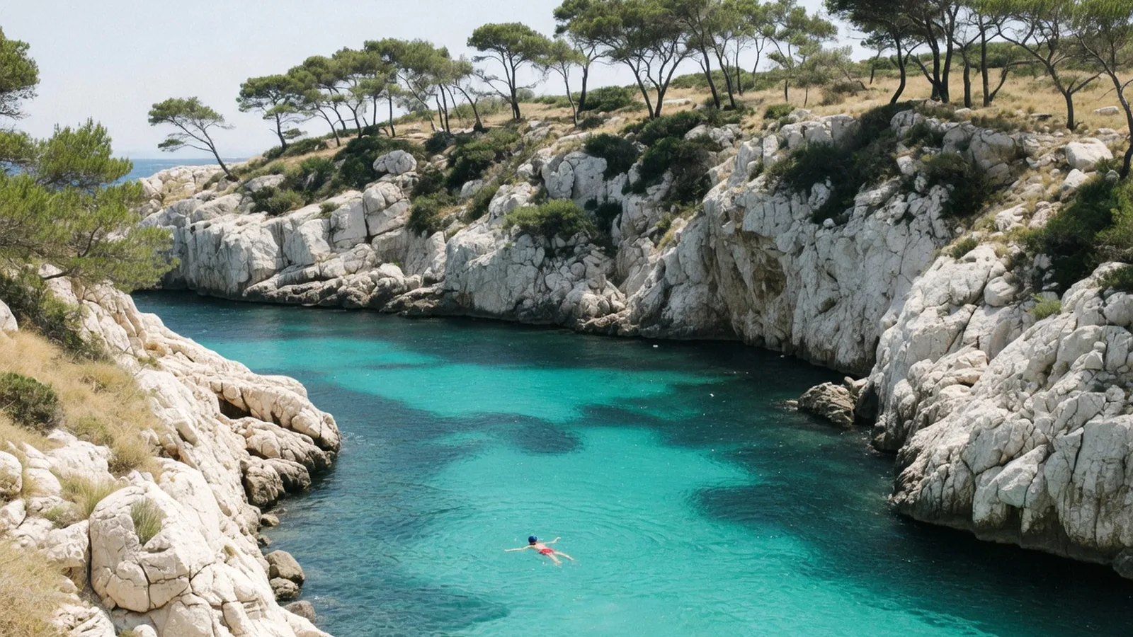
Sun, limestone, and heat. The Mediterranean coast from Perpignan to Menton is backed by the garrigue (dry scrubland) and maquis (dense scrub) that define the Provençal and Languedoc landscapes. Lavender fields, olive groves, and vineyards sheet the hills. The Rhône corridor — France's "autoroute du soleil" — channels warm air northward.
Geology in Brief
- ~300 million years agoThe Hercynian orogeny creates the ancient core rocks of Brittany, the Massif Central, and the Vosges — granite, gneiss, and schist.
- ~200–65 million years ago (Mesozoic)Warm seas deposit the limestone that now forms the Paris Basin, Champagne, Burgundy, and the Causses plateaus.
- ~65–20 million years agoThe Alpine orogeny begins — the collision of Africa and Europe pushes up the Alps, Pyrenees, and Jura.
- ~10–5 million years agoVolcanic activity fires up in the Massif Central — eruptions build the Chaîne des Puys and the Cantal massif (Europe's largest stratovolcano).
- ~2 million–10,000 years ago (Ice Ages)Glaciers carve the Alpine valleys, lake basins (Annecy, Léman, Bourget), and the dramatic cirques of the Pyrenees (Gavarnie).
- ~8,000 years agoThe English Channel is formed as sea levels rise, separating France from Britain.
Scenic Routes — Drive through France's five landscapes — from the Route des Grandes Alpes to the Brittany coast — on La Porte.
On the ground
| Pin | Working note |
|---|---|
| Page | Landscape Overview of France |
| Desk | La Terre |
| First use | Read the pins, then one related page — not five |
| Confirm | Official site or ticket desk the week you go |
Hours, fares, and festival weeks move. A 2024 caption is not a 2026 desk. Landscape Overview of France sits in a country that is easy to over-plan and easy to under-prepare. The geography layer is where visitors collect names. This page is the opposite: what to do first, what to skip, and which sibling guide holds the rest.
France rewards a slow unit. One arrondissement, one valley, one appellation, one park trail. The photograph of five landmarks in five days is a real holiday, and it is also a queue with a passport. If you only have three nights, spend two of them in the same bed. The third night is for a train, not a third hotel.
Working a visit
Practical France is sockets (Type E/F, 230 V), tap water that is safe, pharmacies that are the real clinic for minor trouble, and a lunch hour that still closes a village. Cards work in cities. Cash still opens some park kiosks, some island boats, and some market stalls that have never seen contactless. A lightweight adapter belongs in the personal item, not the hold.
We will not write as if every reader is on a gap year, or as if every reader is in a palace hotel. We will not flatten 'the south' into one climate. We will not treat a strike day, a jour férié, or a Tuesday museum closure as a personality quirk of the French. They are calendars. Check them. Then use Landscape Overview of France as a pin, not as scripture.
Cross the five guides instead of cloning them. La Porte holds trains and the first week. La Terre holds weather and park gates. L'Esprit holds museum Tuesdays and the Revolution. La Table holds the market morning and the wine list. Le Moteur holds the Tour, the working week, and why August is empty in Paris and full on the coast.